Ecological Monitoring
Long-term biological monitoring is essential to document properties of species and ecosystems over time. This is particularly important for the management of protected areas, such as Gorongosa National Park (GNP) and its Buffer Zone. Long-term commitments to monitoring are different from concentrated inventories and short-term studies. These provide information from a snapshot in time, but adaptive management, conservation, and restoration require a long-term understanding of ecosystem dynamics. Monitoring is also needed to gauge the functionality of the Gorongosa Project’s (GP) sustainable human development programs. Monitoring will further be used to manage programs in order to ensure sustainability and resilience in the face of climate and land-use change.
What we do
Our activities currently monitor a variety of both abiotic and biotic factors that contribute to the ecological understanding and management of GNP. By monitoring climate, hydrology, fire, and land use/land cover we acquire important information about the non-living systems that contribute to Gorongosa’s biodiversity.
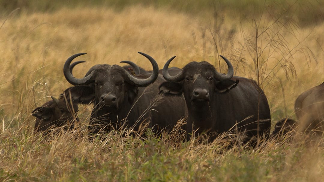
We place a strong emphasis on the monitoring of vegetation composition, biomass, and growth. The biotic factors of GNP are evaluated through a wide array of monitoring systems and assess data on several groups of wildlife. Many of the Park’s wildlife populations are now recovering after the devastating effects of Mozambique’s civil war. The human population is simultaneously growing and leading to increased pressures on wildlife, which makes our monitoring systems all the more important. Our general wildlife monitoring systems include an extensive grid of trail cameras, biennial aerial counts by helicopter, and several acoustic recorders that together enable the monitoring of large mammals, bats, birds, and insects.
Ecological Monitoring contributes to the mission of the Long-term Agreement between the Carr Foundation and the Mozambican government regarding the co-management of Gorongosa. The overall mandate calls for ecological research and monitoring in order to conserve diversity and promote sustainable development.
Activities
Climate: There are two automated weather stations (AWS) in operation in GNP and on Mt. Gorongosa. The AWS support various projects including a baobab growth study. Rainfall is being measured on a daily basis in Chitengo as well as in a number of coffee nurseries on Mt. Gorongosa.
Hydrology: A network of 78 automatic flood meters is installed south of Lake Urema.
Fire : The occurrence of fires is being tracked on a daily basis using NASA’s Fire Information for Resource Management System (FIRMS).
Land use / land cover: Tracking of the number of households and the extent of cultivation in the buffer zone of GNP through the use of publicly available satellite imagery (ArcGis basemap) and more detailed assessment of deforestation on Mt. Gorongosa using high-resolution satellite imagery.
Vegetation composition, structure, biomass and growth Description: A network of permanent fixed vegetation transects is assessed annually (grass layer composition and biomass, woody species density, woody species composition, and degree of elephant impact). A set of 200 points including 1000 trees are used to monitor tree growth every two years. Three baobabs are equipped with dendrometers to monitor growth in relation to rainfall.
Elephants: A total of 13 female and 10 male elephants have been collared. This activity is described in more detail in the Elephant Ecology Program description.
Wildlife general – land-based: An extensive grid of 60 trail cameras is permanently set up to record wildlife distribution and activities (47 cameras are active at present). The data are being processed through the Wildcam Gorongosa program. A new set of 50 cameras was deployed in the Zambezi sector (Coutada 12) in 2020.
Wildlife general – aerial counts: Biennial aerial wildlife counts by helicopter.
Wildlife – acoustics: A number of acoustic recorders have been deployed at various locations in GNP to record the soundscape of insects, bats, and birds at pre-determined intervals.
Bird populations: A nest count of the large water bird colony on Lake Urema was undertaken in 2014 and 2019. Vulture populations are tracked through marked individuals (wing tags and satellite transmitters). The nesting population of marabou storks is assessed annually.
Achievements
Nine consecutive surveys of vegetation composition and grass biomass with annual reports submitted since 2011.
Comprehensive counts of the aquatic bird colonies in 2014 and 2019 (Stalmans M., Davies G.B.P., Trollip J. & Poole G. 2015.)
A major waterbird breeding colony at Lake Urema, Gorongosa National Park, Moçambique. Durban Natural Science Museum Novitates 37: 54-57; Denlinger J., Stalmans M & Massad T. 2019. Waterbird colony count at Lake Urema, Parque Nacional da Gorongosa Mozambique, March and April 2019).
Seven aerial wildlife counts since 2004
Publication of wildlife recovery in GNP in peer-reviewed journal (Stalmans ME, Massad TJ, Peel MJS, Tarnita CE, Pringle RM. 2019. War-induced collapse and asymmetric recovery of large mammal populations in Gorongosa National Park, Mozambique. PLoS ONE 14(3): e0212864. https://doi.org/10.1371/journal.pone.0212864)
Six aerial wildlife counts under GP management since 2007 resulting in a database of 70,102 spatially referenced sighting records spanning all of the aerial wildlife survey over the last 50 years.
Reports on the status of deforestation on Mt. Gorongosa (Stalmans M. 2018. Forest cover on Gorongosa Mountain. Assessment of satellite imagery 1977 – 2017. Internal report to the Gorongosa Project July 2018).